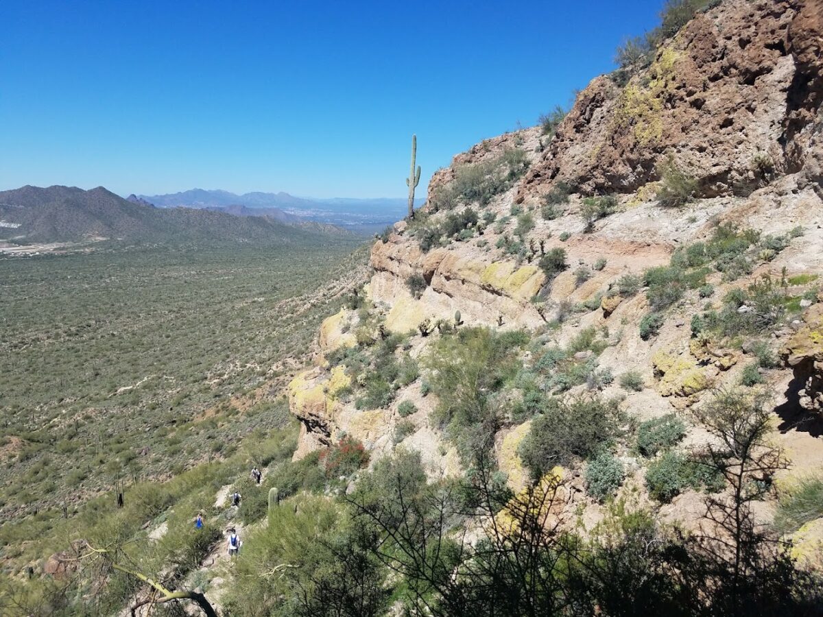
Experience Adventure and Views at Wind Cave
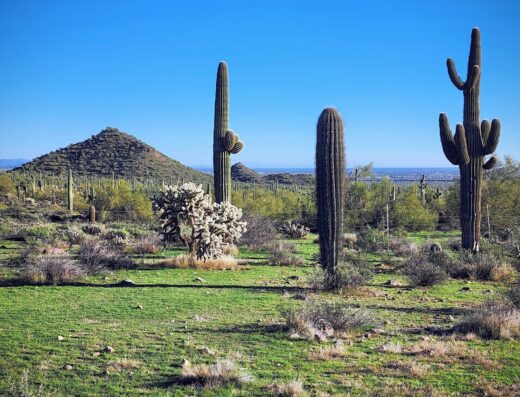
Wind Cave is a captivating hiking area in Mesa known for its scenic trails and unique geological features. Hikers appreciate the moderate challenge combined with rewarding vistas and opportunities to explore natural caves. The trail’s shaded sections, especially during early mornings, offer a comfortable experience even in warmer seasons.
Visitors enjoy the chance to free climb and scramble around the cave areas, making it a versatile destination for adventurers of all ages. The well-maintained facilities, including clean restrooms and convenient parking, enhance the overall visit. Its family-friendly and dog-friendly environment makes Wind Cave a popular choice for locals and tourists seeking a memorable outdoor excursion.


Karsten Hein
a week agoNot a bad hike. As far as Arizona hikes go I'd say this is a moderate hike. Some light scrambles, nothing too crazy. I'm a middle-aged man, knees not-so-great, I took my hiking stick and made it to the "cave" in 70 minutes. Rested at the top for about 15 minutes and back down in 60 minutes. Was 80°F, I brought 2.5 litres of water with me and drank a little over half. 4 stars because the cave is not an actual cave but it was still kinda cool, I rested in the shade and there is a bunch of wildlife up there. Chipmunks, hummingbirds, bees, lizards... the area actually hums from all the bees living inside the walls.
Chris Thorsen
a month agoGreat hike close to Mesa. The best part was the climb up to the peak after the cave itself, not too hard if you take it easy. There was one wall you have to climb, but there are lots of good hand and foot holds. We saw Tarantula Hawk wasps and a pair of big lizards and a tremendously good 360 degree view.
Philip McCormick
a month ago70 minutes in, 60 minutes out. Beautiful views. I was a little confused as the image on Google appeared to show a hole through a rock as if you were looking through a mountain. But up there it was a panorama with their back taken against the wall.
NomNom Gnome
a month agoNice scenic, tranquil area to hike.
Andrew Haag
2 months ago